


RMS Measurements
Why Do Real Estate Measurements Vary? Understanding Floor Plan Accuracy
You look at an older property listing, public record, or builder’s plan and see 2,000 square feet. You order a new professional floor plan and it says 1,875 square feet. Did the house shrink? No. But the technology used to measure it has likely evolved.
In the Alberta real estate industry, accurate data protects everyone. It is also important to note that square footage is not a universal, monolithic number. It is a variable that changes based on the standards applied, the tools used, and the person doing the measuring. Measurement professionals in Alberta must adhere to the Residential Measurement Standard (RMS) to ensure consistency. However, even when following strict RMS guidelines, square footage can still vary.
If you have ever wondered why floor plans from different sources provide varying numbers, here is a detailed breakdown of why these discrepancies occur and what you should look out for.
1. Different Measurement Standards (The RMS Factor)

There is no single right way to measure a property globally, but there are strict regional standards. In Calgary and across Alberta, real estate professionals must adhere to the Residential Measurement Standard, commonly known as RMS.
RMS strictly defines what counts as gross living area. For example, RMS requires that only above-grade levels are included in the primary square footage, and specific ceiling height rules apply. If an older floor plan, an appraisal, or a set of architectural blueprints included the basement, an attached garage, or an unheated sunroom in the total calculation, a modern RMS-compliant scan will immediately show a smaller number.
2. Human Error vs. High-Density LiDAR Technology
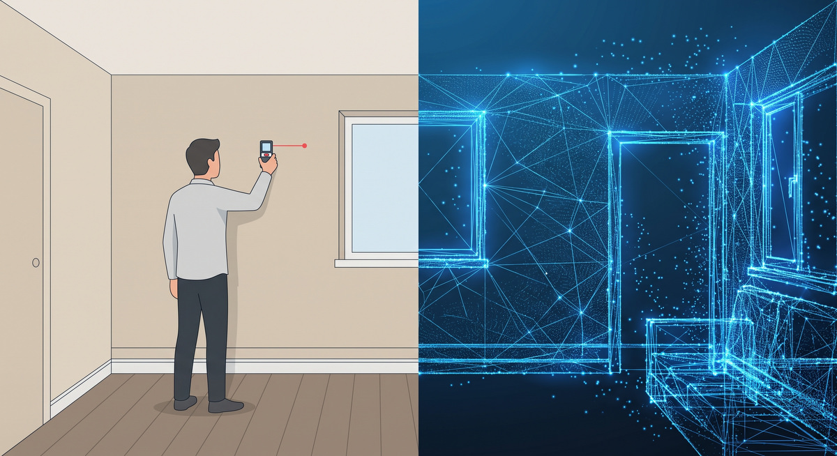
Even when two experienced professionals measure the exact same property using the exact same RMS rules, their results will almost always differ slightly. Industry research shows that even among professional appraisers, discrepancy ranges typically fall within a 3 percent to 5 percent error margin when two people manually measure (using a digital laser measurer) the exact same home.
This variance happens because manual measuring is subject to slight device movements, line-of-sight errors, and hidden wall irregularities. A hand laser angled even half a degree off-center can add inches to a room, and when that error is compounded across an entire house, the total square footage can be thrown off significantly.
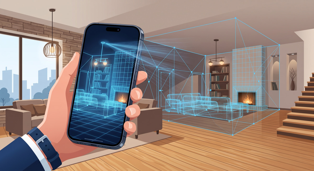
Modern digital floor plans remove this human guesswork. By utilizing advanced LiDAR (Light Detection and Ranging) technology, we perform a full pass of the space, capturing millions of high-density data points to create an exact 3D model of the property rather than shooting from a single fixed location. This allows us to maintain a strict 2 percent accuracy range.
3. Rounding Differences and Cumulative Variance
Even when two experienced professionals measure the exact same property using the exact same RMS rules, their results will almost always differ slightly. Industry research shows that even among professional appraisers, discrepancy ranges typically fall within a 3 percent to 5 percent error margin when two people manually measure (using a digital laser measurer) the exact same home.
This variance happens because manual measuring is subject to slight device movements, line-of-sight errors, and hidden wall irregularities. A hand laser angled even half a degree off-center can add inches to a room, and when that error is compounded across an entire house, the total square footage can be thrown off significantly.
Modern digital floor plans remove this human guesswork. By utilizing advanced LiDAR (Light Detection and Ranging) technology, we perform a full pass of the space, capturing millions of high-density data points to create an exact 3D model of the property rather than shooting from a single fixed location. This allows us to maintain a strict 2 percent accuracy range.
4. Manual Measurements and Line-of-Sight Limitations
Manual measurements require a clear line of sight from one wall to the other. If a home is heavily furnished, cluttered, or features complex angles and bay windows, manual measurers are forced to estimate or measure in segmented chunks.
Because LiDAR technology captures high-density depth data points as the camera moves through the space, it easily maps around furniture and captures complex architectural angles with flawless precision.
5. What to Look For When Comparing Floor Plans
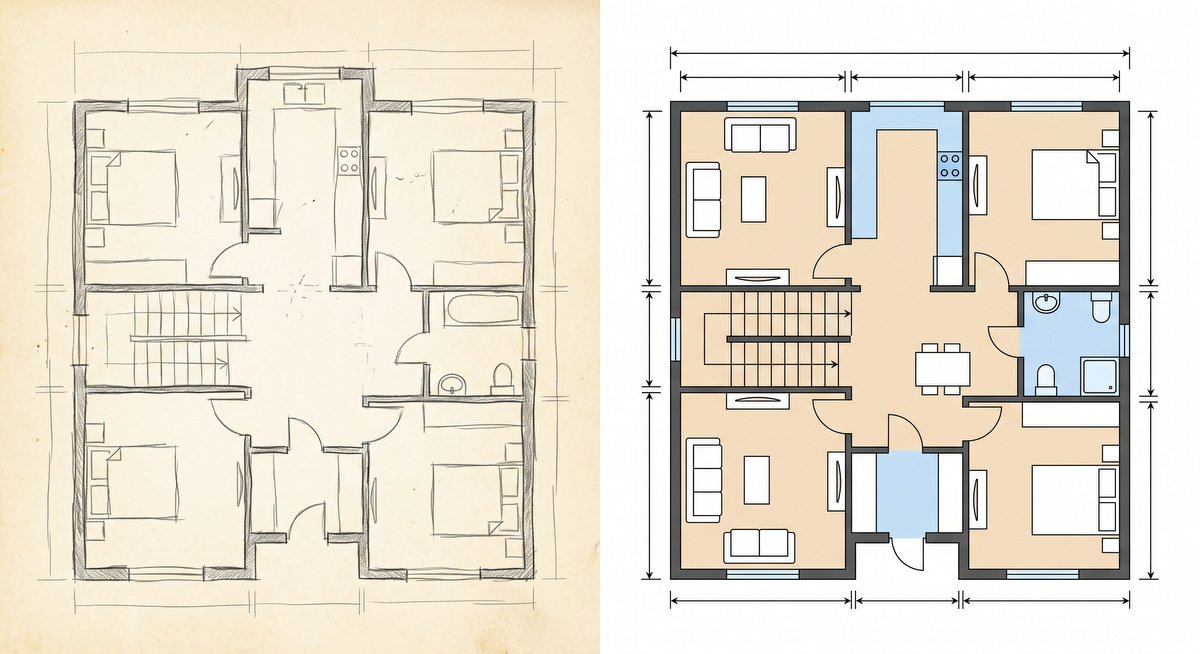
If you are comparing an older measurement to a new professional floor plan, the discrepancy is rarely due to a blatant rule violation. Instead, look for these factors:
- The Tools Used: Was the original number pulled using a manual hand-laser, or was it digitally mapped using modern LiDAR?
- Renovations: Has the property been renovated, altered, or had walls moved since the last measurement was taken?
- The Source: Was the original measurement pulled from architectural blueprints (which map the theoretical build) or from a physical as-built scan?
Ultimately, a modern, LiDAR-backed floor plan that complies with local RMS guidelines is your safest and most accurate tool for marketing a property. It creates consistency, reduces buyer uncertainty, and supports a highly professional presentation.